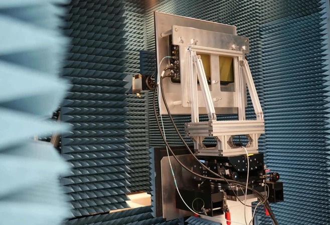


The GeoXO Imager will capture infrared measurements alongside visible spectrum data to provide higher resolution atmospheric information than current satellites. L3Harris said the improved data will strengthen forecasting models used to monitor weather, ocean and environmental conditions and predict severe storms.
“Building upon our 30-year legacy in delivering geostationary observation technology to NOAA, the GeoXO Imager will provide timely, accurate information that matters,” said Paul Wloszek, Vice President and General Manager, Spectral Systems, L3Harris. “These richer data sets will allow forecasters to identify severe weather earlier, which in turn can help local leaders alert the public and take informed steps to safeguard their communities and save lives.”
The GeoXO system will support the delivery of detailed and accurate weather information across the Western Hemisphere and will build on the capabilities of the current GOES R series. When it enters service in the early 2030s, it is expected to improve short term forecasting and provide earlier warnings of severe weather events.
GeoXO will also enhance the detection and monitoring of hazardous conditions such as wildfires, smoke, drought and flooding to support public warning systems. The development of the new imager forms part of a NASA contract carried out in support of NOAA.
The existing GOES R satellites feature several L3Harris contributions, including the Advanced Baseline Imager, the GOES R Ground System and spacecraft propulsion systems.