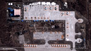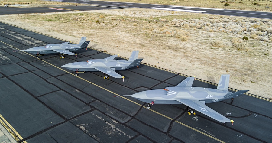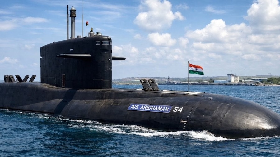


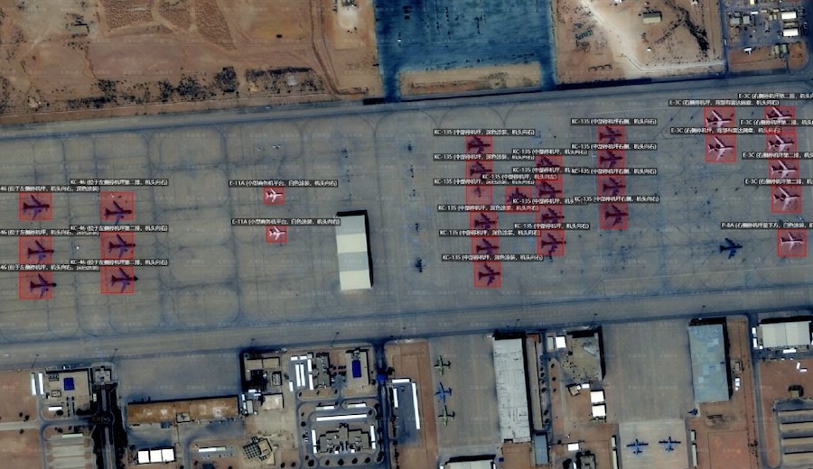
The images reportedly included Lockheed Martin F-22 Raptor jets at Israel’s Ovda air base and support aircraft at Prince Sultan Air Base in Saudi Arabia. Additional material showed activity aboard the USS Gerald R. Ford as it departed Souda Bay in Crete.
Officials from the Defense Intelligence Agency assessed that Iran’s Islamic Revolutionary Guard Corps is using MizarVision’s datasets to improve planning of missile and drone attacks. The analyses are said to be conducted in near real time, increasing their operational relevance.
The origin of the data used by the company remains unclear. Analysts believe it combines multiple publicly available sources, including commercial satellite imagery and tracking signals.
These inputs include ADS-B aircraft tracking data and AIS maritime tracking data. The datasets are processed using artificial intelligence models designed to automatically identify military equipment and activity.
The resulting products resemble geospatial intelligence typically generated by state intelligence agencies. This capability enables the rapid interpretation of large volumes of open-source data.
Two potential sources of satellite imagery have been identified. One is China’s Jilin-1 constellation operated by Chang Guang Satellite Technology.
The Jilin-1 network includes more than 100 Earth observation satellites capable of capturing sub-metre resolution imagery. At this level of detail, aircraft on runways and various ground systems can be distinguished.
Another possible source includes Western commercial providers such as Planet Labs and Airbus Defence and Space. These companies sell satellite imagery globally, making such data widely accessible.
The development highlights the growing role of artificial intelligence in processing open-source intelligence. It also raises questions about how commercially available data may be used in modern conflict environments.