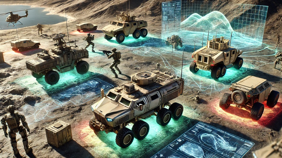
Technological advancements now enable precise surface scanning and the automated or semi-automated creation of 3D models, complete with textures. These models can be generated using sensors already integrated into land platforms as they move through mission areas, offering real-time insights into the terrain.
By leveraging automated analysis, these 3D models allow operators to assess the landscape before arrival, predict potential risks, and gain a more detailed understanding of their surroundings. The improved situational awareness is expected to support better decision-making and operational effectiveness on the battlefield.
In response to the increasing demand for advanced situational awareness tools, EDA’s CapTech Ground Systems and CapTech Simulation Technologies are coordinating a collaborative effort between Luxembourg and the Netherlands. The project, titled “3D Terrain and City Models for Situational Awareness, Decision Making, and Effector Coordination” (3D-4LAND I), involves multiple research and industry partners.
The Netherlands’ RE-liON is leading the initiative, with contributions from TNO (Netherlands), FIRIS SA (Luxembourg), the University of Luxembourg, and the Luxembourg Institute of Science and Technology (LIST). The collaborative effort brings together expertise in simulation technologies, defence research, and real-time data processing.
With a budget of €4.9 million allocated over a three-year period, 3D-4LAND I will define the system’s conceptual framework. This includes outlining operational and technical requirements, system architecture, evaluation criteria, and specifications. The project will also lay the groundwork for a subsequent phase, 3D-4LAND II, which will focus on developing a physical demonstrator.
Source: European Defence Agency (EDA).

