

The scale and complexity of the maritime challenge
Europe’s maritime environment is a patchwork of challenges. European defence leaders are responsible for monitoring both regional and global waters, especially as threats transcend borders. Shipping lanes are congested, vessel traffic is increasing and adversaries deliberately hide activities in these busy waters.
For defence and intelligence organizations, maintaining awareness is challenged by the sheer volume of activity across tens of thousands of kilometres of coastline and hundreds of ports. Even well-resourced nations struggle to maintain persistent situational awareness with finite airborne and naval assets.
For analysts, the difficulty lies not only in the scale of the maritime domain but its unpredictability. Targets of interest can appear and disappear in hours; hostile activity often takes place just outside territorial waters; and seemingly innocuous commercial traffic may mask sanctions evasion or illicit ship-to-ship transfers.
Whether the task is tracking naval forces, discovering secret transfers or monitoring small vessels that often travel without transponders, maintaining awareness of maritime activity is both essential and increasingly difficult.

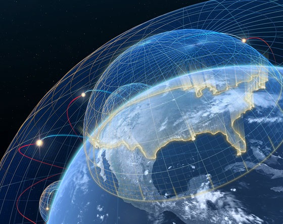
Space-based assets that see more, more often
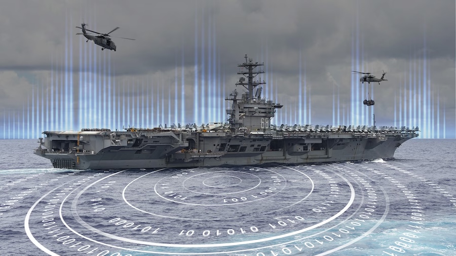
While militaries will always rely on a mix of sensors (including AIS, radar, RF and crewed or uncrewed surveillance assets), electro-optical satellite imagery offers a unique and complementary source of truth. It can help analysts identify vessels visually, even when transponders are off, spoofed or unavailable. More importantly, with today’s capabilities, it can do so with speed and frequency that matches the pace of modern operations.
Optical satellite imagery is no longer limited to strategic reconnaissance. With global access and collection opportunities as frequent as every 60 minutes, it is now a tactical asset. Very high-resolution imagery at 35 centimetres enables clear identification of vessels of interest, from commercial tankers to naval destroyers and even smaller watercraft.


What makes this imagery even more actionable is the integration of AI-powered analytics. Automated vessel detection and classification allow analysts to spend less time combing through pixels and more time making decisions. For specific points of interest such as ports, chokepoints or known illicit transfer zones, imagery can help analysts chart changes over time and identify suspicious patterns for further investigation. Speed, scale and automation help defence organizations not only respond faster but also anticipate activity before it becomes a crisis.
Supporting critical European missions across key regions
The applications of space-based imagery to maritime domain awareness are already being demonstrated across Europe’s highest-priority regions.
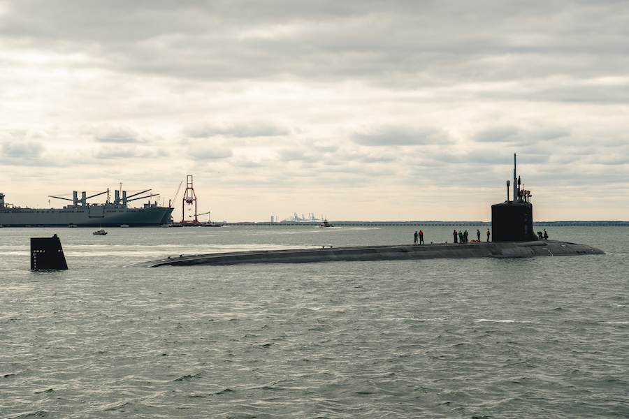
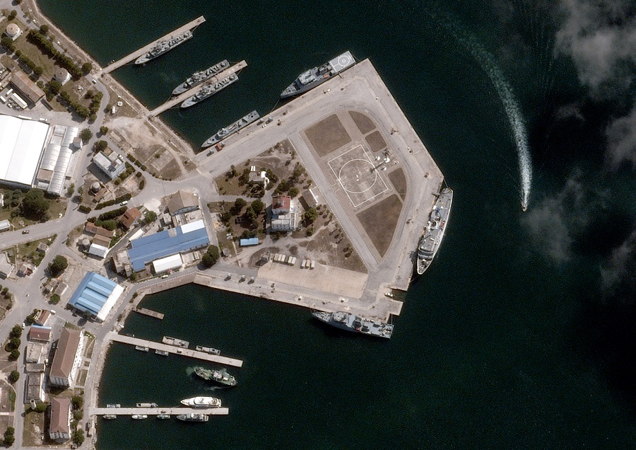
In the Baltic Sea, where tensions are high and infrastructure is vulnerable, optical imagery supports routine monitoring of naval ports. Ports are natural choke points: they concentrate logistics, ship repairs and military resupply, and they often serve as staging areas for exercises or operations. Very high-resolution imagery enables defence and intelligence leaders to monitor which vessels are docked, track the loading and unloading of cargo and assess changes in readiness. When repeated over time, this monitoring reveals indicators of force posture and early warning of unusual activity.
In the Mediterranean, the irregular movement of migrants in small boats continues to present humanitarian, political and security challenges. Imagery enables coast guard authorities to locate and track more vessels, earlier in their journeys and even when radar or AIS tracking is less effective. This intelligence improves response time and shrinks search areas.
In the Black Sea, space-based imagery plays a vital role in supporting operations in and around Ukraine, including battle damage assessment and port activity monitoring. The capability tracked changes in Russian naval deployments and identified vessel losses after missile strikes.
In each of these domains, space-based intelligence supports a common operating picture across coalitions, enabling shared insight without requiring shared platforms. Through partnerships with companies like Switzerland-based EMDYN, optical imagery is also being fused with other data sources to support tactical operations.

The future of maritime domain awareness
These capabilities—global coverage, high-resolution imaging, frequent revisit and AI-driven detection—offer European defence leaders a way to scale their maritime awareness with persistent space-based intelligence. And the tools continue to evolve. While today’s focus is on high-cadence optical imagery, on the horizon are even more advanced data fusion solutions and new wide area monitoring constellations.
As the maritime environment grows more complex and contested, this technology is becoming a cornerstone of modern defence strategy. Whether enhancing intelligence gathering, improving response times or tracking adversaries across the globe, space-based intelligence helps European nations anticipate, assess and act with confidence.
BlackSky delivers space-based intelligence for maritime domain awareness. To learn more about the company’s capabilities, visit www.blacksky.com.