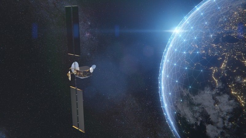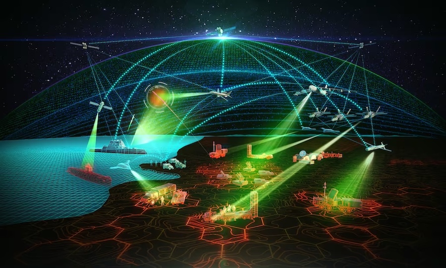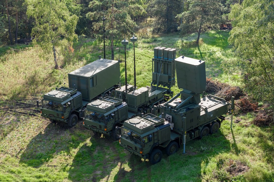
The company’s new identity, Vantor, signifies its focus on delivering real-time, multi-domain intelligence by integrating data from space, air, and ground. This shift addresses growing demands for advanced battlespace systems and scalable autonomous operations.
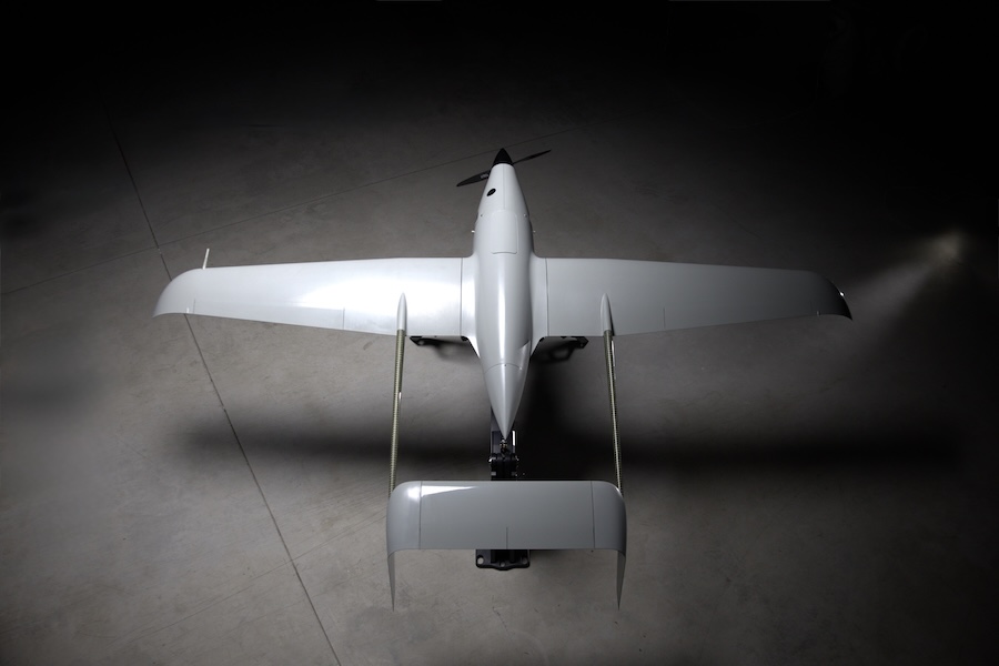
In recent months, Vantor has launched several AI-enabled tools, including Raptor, a drone-integrated software suite that operates without GPS, and Sentry, a global monitoring system that uses AI to detect operational threats. Tensorglobe, the centrepiece of this transformation, allows organisations to build their own spatial intelligence systems using real-time sensor fusion across domains.
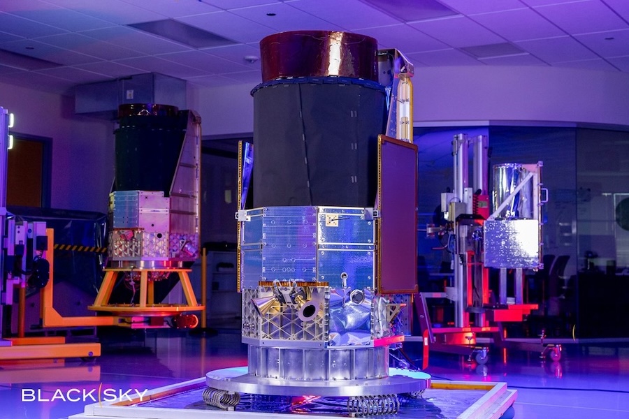
“Our business has celebrated significant milestones over the past two years—we launched six next-gen imaging satellites, introduced multiple first-of-a-kind spatial intelligence products, and signed partnerships with companies that are shaping the future of mixed reality and battlefield autonomy,” said Vantor CEO Dan Smoot. “Vantor represents a company transformed. We’re not just a satellite imagery provider. We’re delivering end-to-end solutions capable of connecting sensor data from every domain, providing a unified intelligence picture that they can turn into a competitive advantage.”
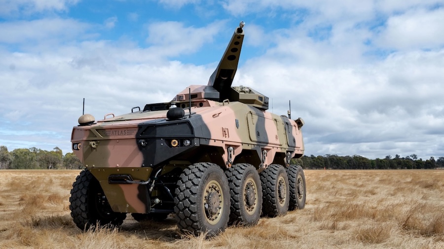
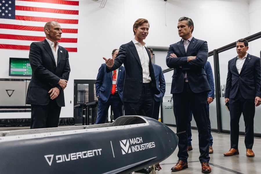
Vantor has partnered with major defence and commercial innovators, including Anduril, Saab, and Taiwan’s AIDC, to deliver integrated intelligence capabilities for contested environments. These partnerships support the development of next-generation systems such as the U.S. Army’s Soldier Borne Mission Command Architecture programme.
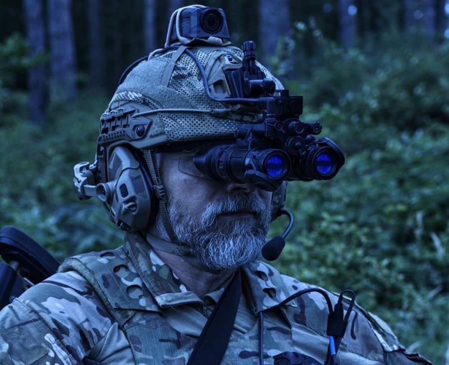
“We’re witnessing a fundamental shift in how governments and businesses need to understand and interact with the physical world,” said Smoot. “Delivering static satellite imagery and analytics through siloed web portals is no longer sufficient. Our customers need real-time intelligence about the world flowing directly into their systems to ensure that autonomous platforms can effectively navigate in the air and the ground, military units gain full command and control of the battlespace, and businesses effectively track critical assets in real time.”
Tensorglobe combines Vantor’s own spatial foundation with customer-sourced sensor data to create a living 3D model of Earth. The platform’s components—Cortex for satellite orchestration, Forge for sensor fusion, and Nexus for secure analytics—automate intelligence production and enable continuous global updates.
“Our customers aren’t relying on intelligence from a single source—they are investing in data and sensor systems from many partners, and they need all these capabilities to work together,” said Peter Wilczynski, Chief Product Officer at Vantor. “The accuracy and global scale of our spatial foundation, combined with our fusion and production software, is a critical differentiator. We give customers the power to integrate raw pixels from any sensor into an AI-ready living globe that can connect every human and machine to the same ground truth.”
Tensorglobe is already in use by U.S. and international government and commercial clients, including classified applications. It supports initiatives such as the U.S. government’s GEGD and Luno programmes, and the U.S. Army’s One World Terrain, all of which rely on high-accuracy geospatial intelligence.
Vantor’s portfolio includes WorldView satellite tasking, 2D and 3D Vivid basemaps, and the Vantor Hub, a cloud-based interface for on-demand access to its spatial intelligence systems.