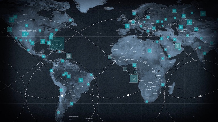
Sentry consists of two core products: Site Sentry and Maritime Sentry, tailored for monitoring land-based infrastructure and vast maritime zones, respectively. Both solutions enable users to observe hundreds of locations or thousands of square kilometres of ocean simultaneously.
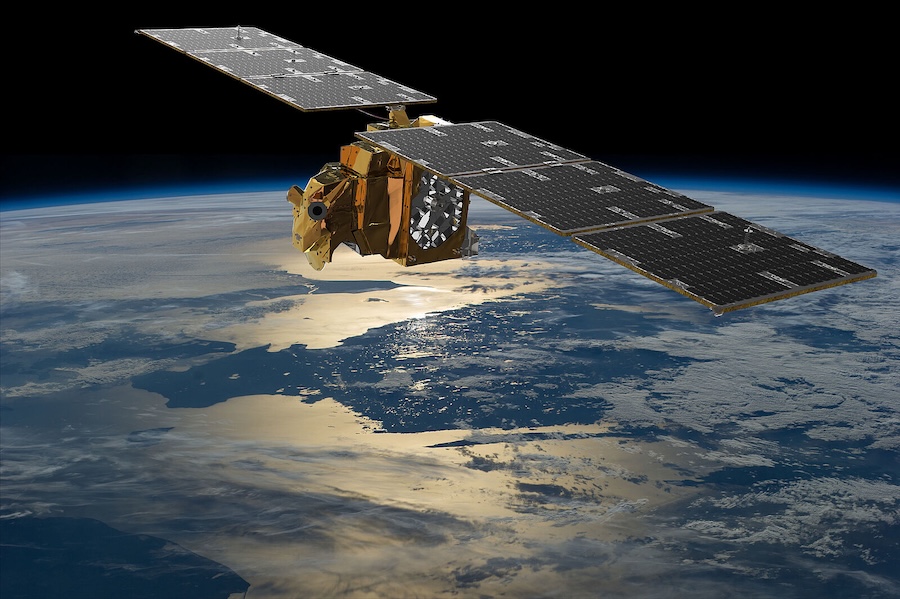
The suite leverages Maxar’s extensive 250+ petabyte archive of very high-resolution satellite imagery gathered over two decades. This geospatial data trains AI and machine learning models to detect historical patterns and identify mission-critical activity.

“For many of our customers, it’s no longer enough to be able to deliver persistent monitoring of only one or two sites or limited geographies—the world is changing too fast, and they need to be able to identify mission-critical activity before it happens, anywhere in the world,” said Dan Smoot, CEO of Maxar Intelligence. “For the first time, Sentry makes it possible to use the full potential of space to deliver predictive intelligence at global scale.”
Sentry is powered by three core automation technologies: tasking, production, and analytics. Tasking uses Maxar’s collection orchestration software to manage scheduling across diverse satellite constellations, including electro-optical and SAR systems.
The production element automates data processing from various sensors to create a dynamic, co-registered global view ready for analysis. Analytics applies AI models and third-party systems to detect relevant activity and patterns, with results available via Maxar’s Insights UI or through secure APIs.
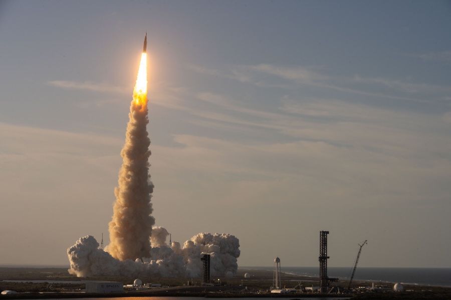
“It’s a game changer for our customer that unlocks a new level of decision superiority, be it to identify an imminent satellite launch before it happens or to estimate potential threats to energy infrastructure following a natural disaster,” Smoot added.
The technologies behind Sentry have already proven successful in U.S. defence programmes, including the NGA’s Luno A D01 task order. In that case, Maxar delivered AI/ML-generated object detections within hours, identifying aircraft, ships, vehicles, and railcars to inform threat assessment and anomaly detection.