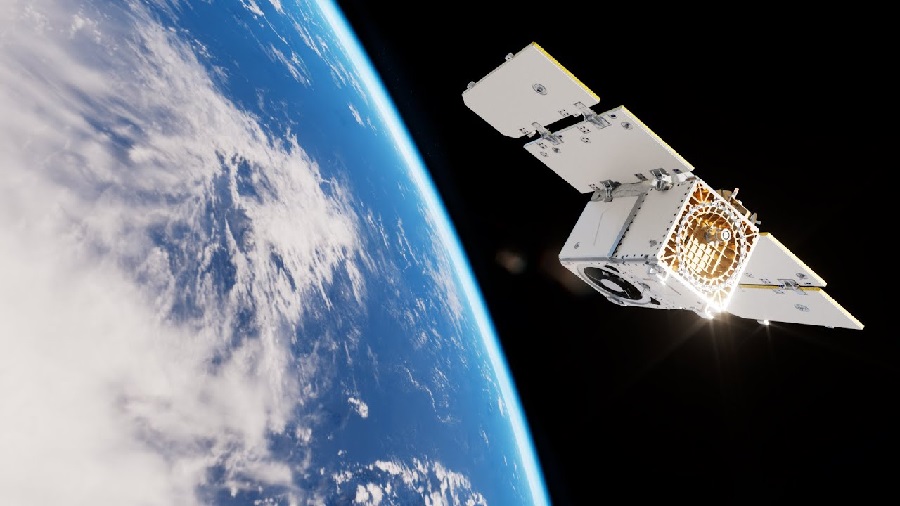


ICEYE has now deployed 31 satellites since 2018, underscoring the company’s position as a world leader in SAR satellite technology. As the owner and operator of the largest SAR satellite fleet, ICEYE can provide customers with faster access to data in emergencies and the highest revisit rates for high-frequency phenomena.
“This launch and deployment is more than just additional satellites for our constellation; it’s a testament to our pursuit of excellence for our technologies in support of our customers,“ said Rafal Modrzewski, CEO and Co-founder of ICEYE. “We are fielding a resilient constellation with increased revisit rates and cutting-edge capabilities to meet the high-tempo imagery requirements of our most demanding customers.”

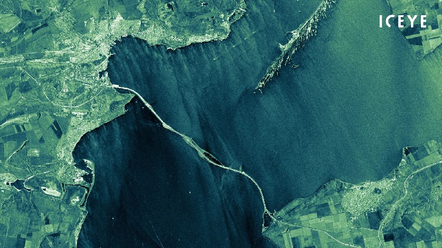
The launch of the four third-generation satellites also builds on earlier advancements in imaging capabilities, including Spot Fine mode, which delivers 50 cm native ground resolution, and Dwell mode, which uses advanced collection techniques to rapidly determine changes happening on the ground in near real-time.
John Cartwright, Head of Data Product at ICEYE remarked, “ICEYE customers around the globe have seemingly unending demand for our persistent, high-resolution satellite imaging capacity. Our customers use ICEYE imagery for actionable information and high-confidence decision-making. This is our third satellite launch during 2023, which shows our commitment to building and operating the largest SAR satellite constellation to date.”
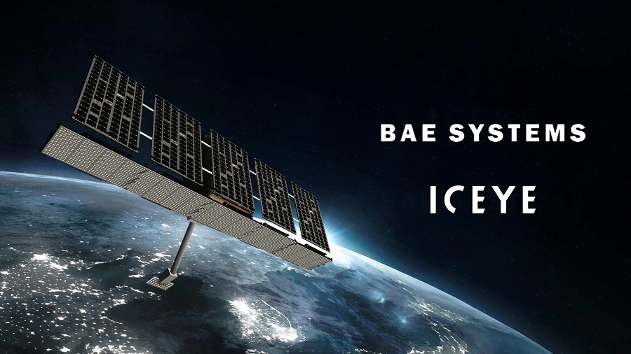
ICEYE’s latest launch includes next-generation satellites built and operated by teams both in Europe and in the United States. ICEYE US, headquartered in Irvine, CA, builds and operates NOAA-licensed satellites in support of U.S. Government and commercial customers.

Around 70 percent of the globe is shrouded in clouds, and at any given time about half of the planet is in the dark. SAR satellites illuminate the ground with microwaves and create images from the energy that is reflected back to the satellite. SAR is superior to traditional electro-optical imaging for monitoring and search applications because it provides a powerful day/night, all-weather imaging capability. This capability is ideally suited for applications such as insurance, natural catastrophe response and recovery, national security, defense and intelligence, humanitarian relief, and climate change monitoring.


![B-2 Spirit bombers and F-22 Raptor fighters conduct flyover of White House [VIDEO]](https://defence-industry.eu/wp-content/uploads/2025/07/B-2-Spirit-bombers-and-F-22-Raptor-fighters-conduct-flyover-of-White-House-VIDEO.jpg)